|
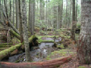
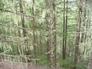
a short, slighly uphill, 3.5 mile hike to the mine shaft can be accomplished in just a couple of hours.
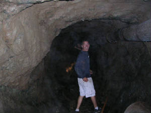
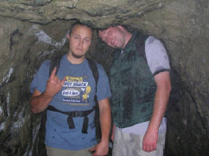
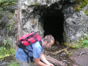
Ah we made it! Here you see the entrance to the old hard rock mine. Although
not what I would call safe, it is possible to explore the depths of this mine and make it back in one piece.
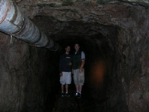
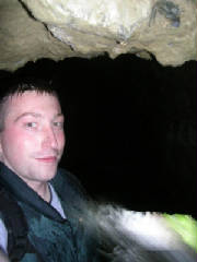
With
a small river flowing through the bottom of the mine, the going was slow and wet. After leaping though an underground waterfall
while holding sheets of metal that we found on the mine floor over our heads, we were finally able to reach the end of the
mine shaft
|
 |
|
|
|
|
|
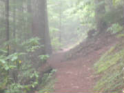
Named
after an old copper and manganese mine shaft, the Tubal Cain Mine trail is located in the northeast Olympic's Buckhorn Wilderness..
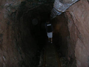
At just over 2/3rd's of a mile
deep, the Tubal Cain mine is deep enough that you can not see the entrance from about half way in and beyond. Litered
with old mining gear, a flooded floor, often times a low celling (ouch!) and of course no light,geting back
inside can be a real pain, but it is well worth it. The shaft is like a big T. The main shaft goes straight back
and just over half way in a side shaft juts out perpindicular to the main one. A few hundered feet from the
end an underground waterfall stops most explores from going any further. Using things found in the mine my friends and
I were able to jump though it so that we could bring you this picture of the mines end.
|
|
|
|
|